


 Free 3D
 3D Print Models
 3D Scans
 Animation & MoCap
 Textures
 Materials
 Skin Reference
 2D Game Assets
 Sound Effects
 Brushes & Tools
 Reference Photos
 Stock Images
 HDR Images
 3ds Max
 Maya
 Blender
 Unreal Engine
 Unity
 ZBrush
 Cinema 4D
 LightWave
 Marmoset
 SketchUp
 FBX
 DAE
 DXF
 GLB


! REPORT
NOTE: DIGITAL DOWNLOAD, NOT A PHYSICAL ITEM

Add to Collection

0 Likes
Share This 3D Model


Offered By


License
Extended Use License
This item comes with our Extended Use Licensing. This means that you may use the model for both non-commercial and commercial purposes, in a variety of mediums and applications.
For full license terms, see our 3D Content Licensing Agreement
3D Model Details
Statistics
| Favorites: | 0 |
| Likes: | 0 |
| Views: | 1 |
Item Ratings

Not Rated Yet
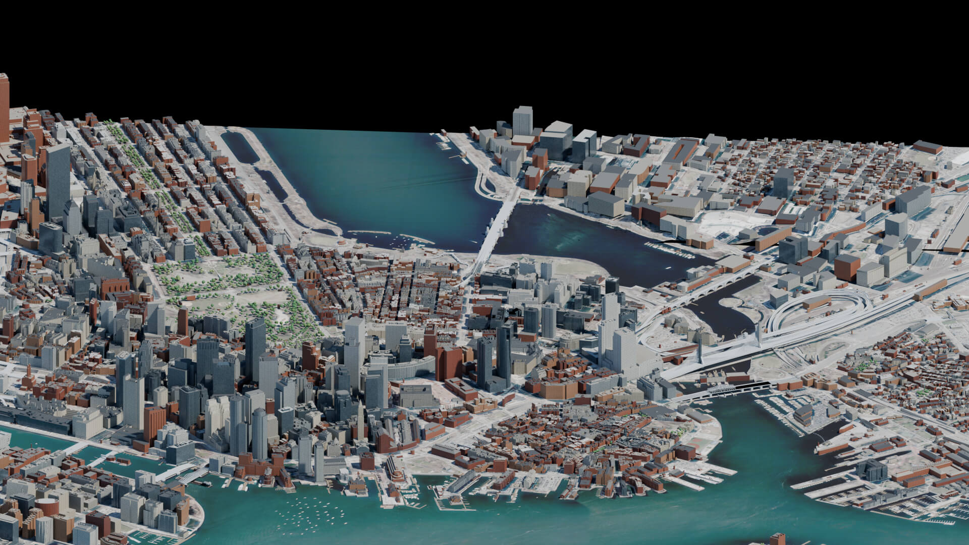
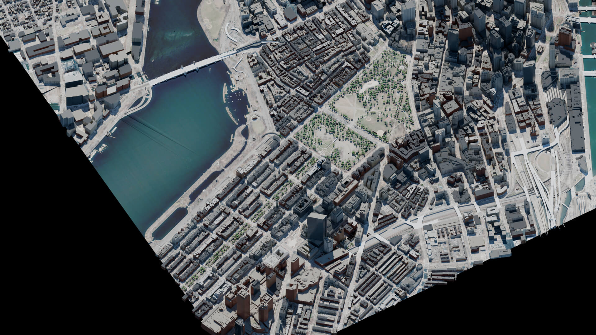
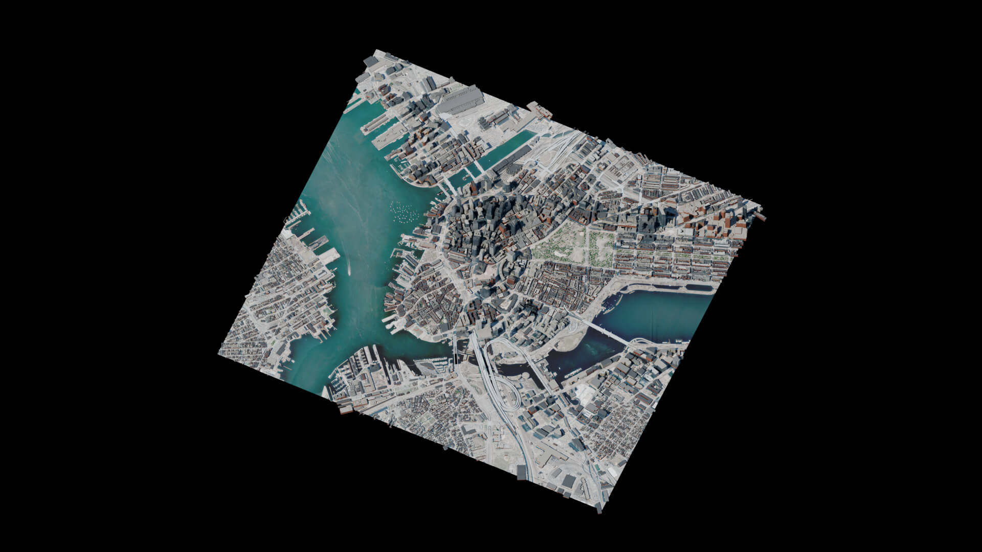
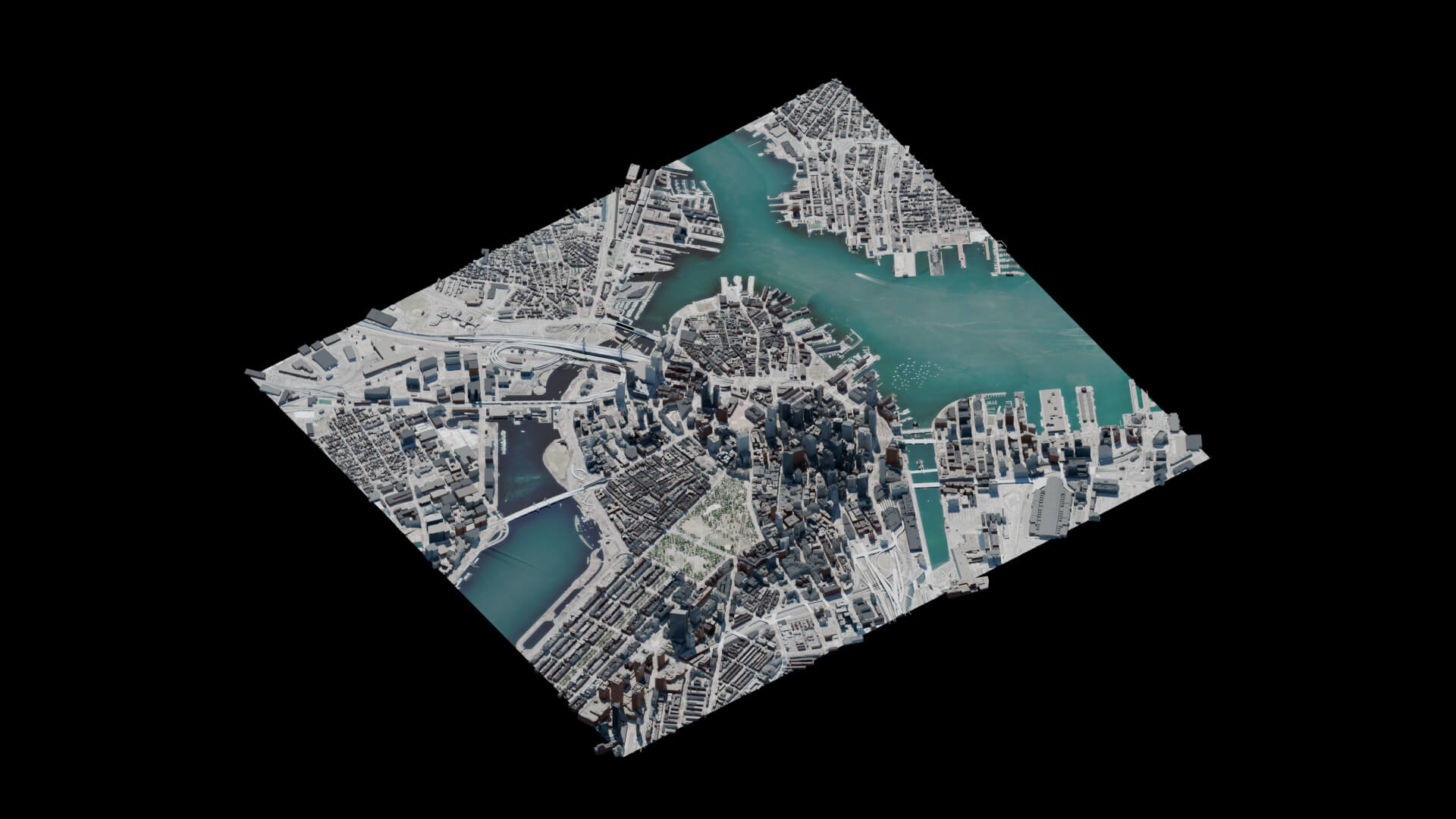
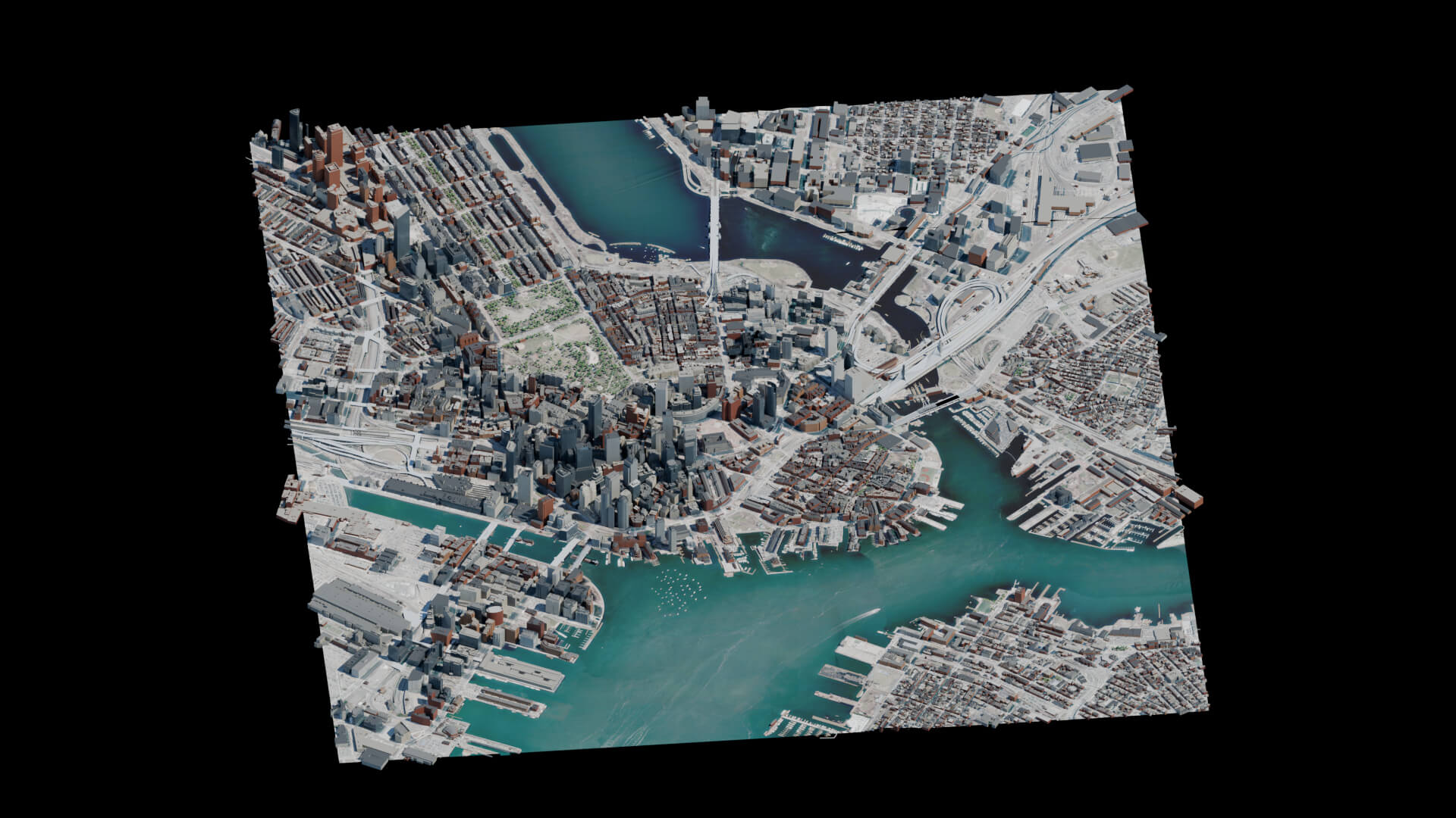
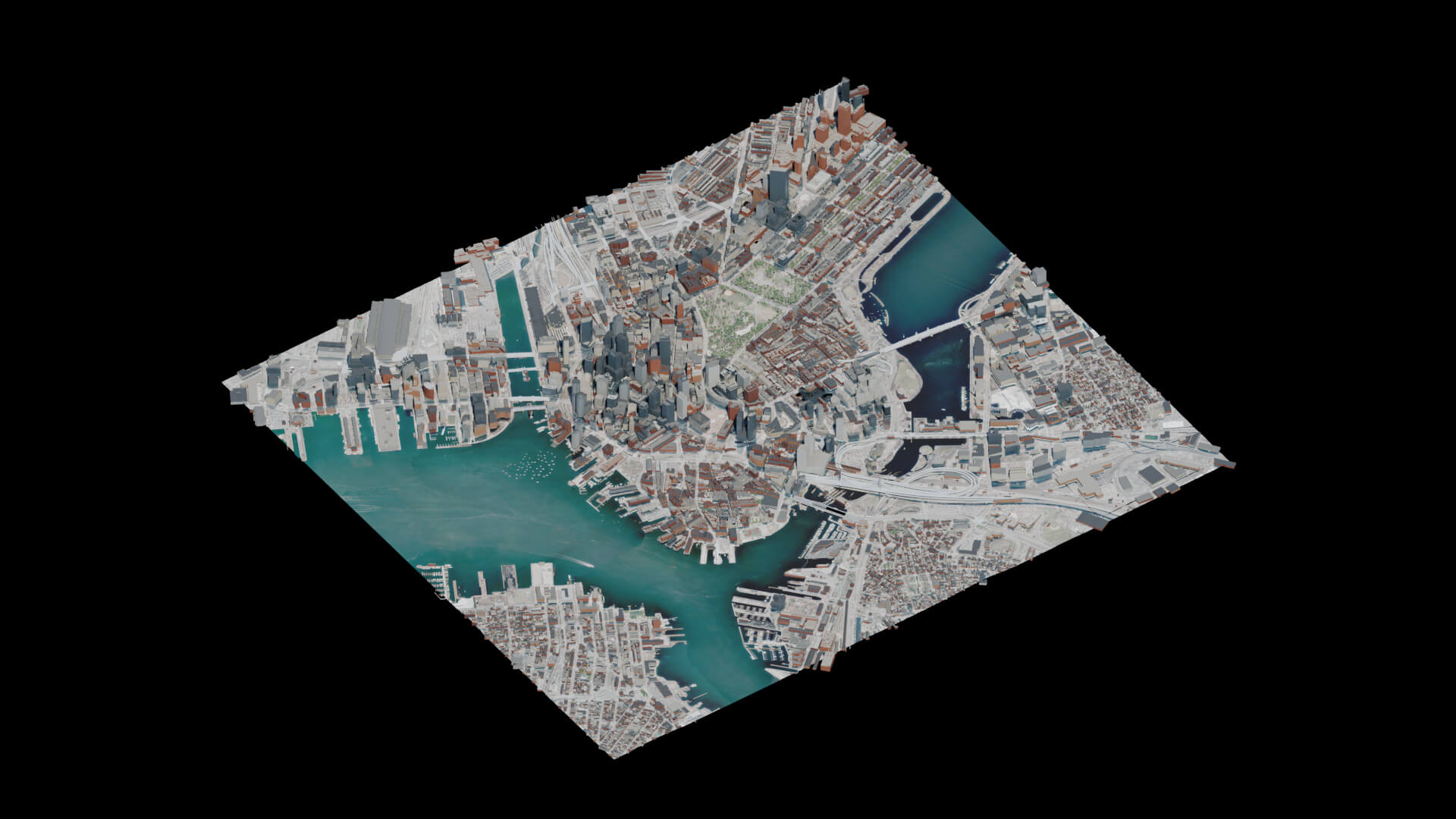
Boston Isolated 3D City Map
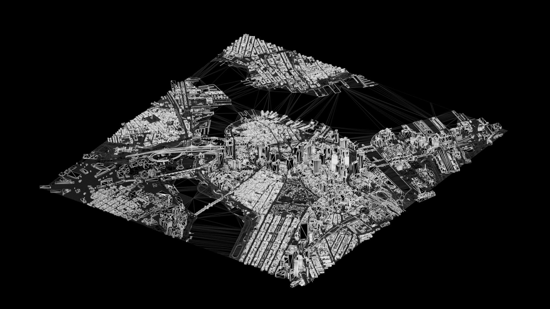
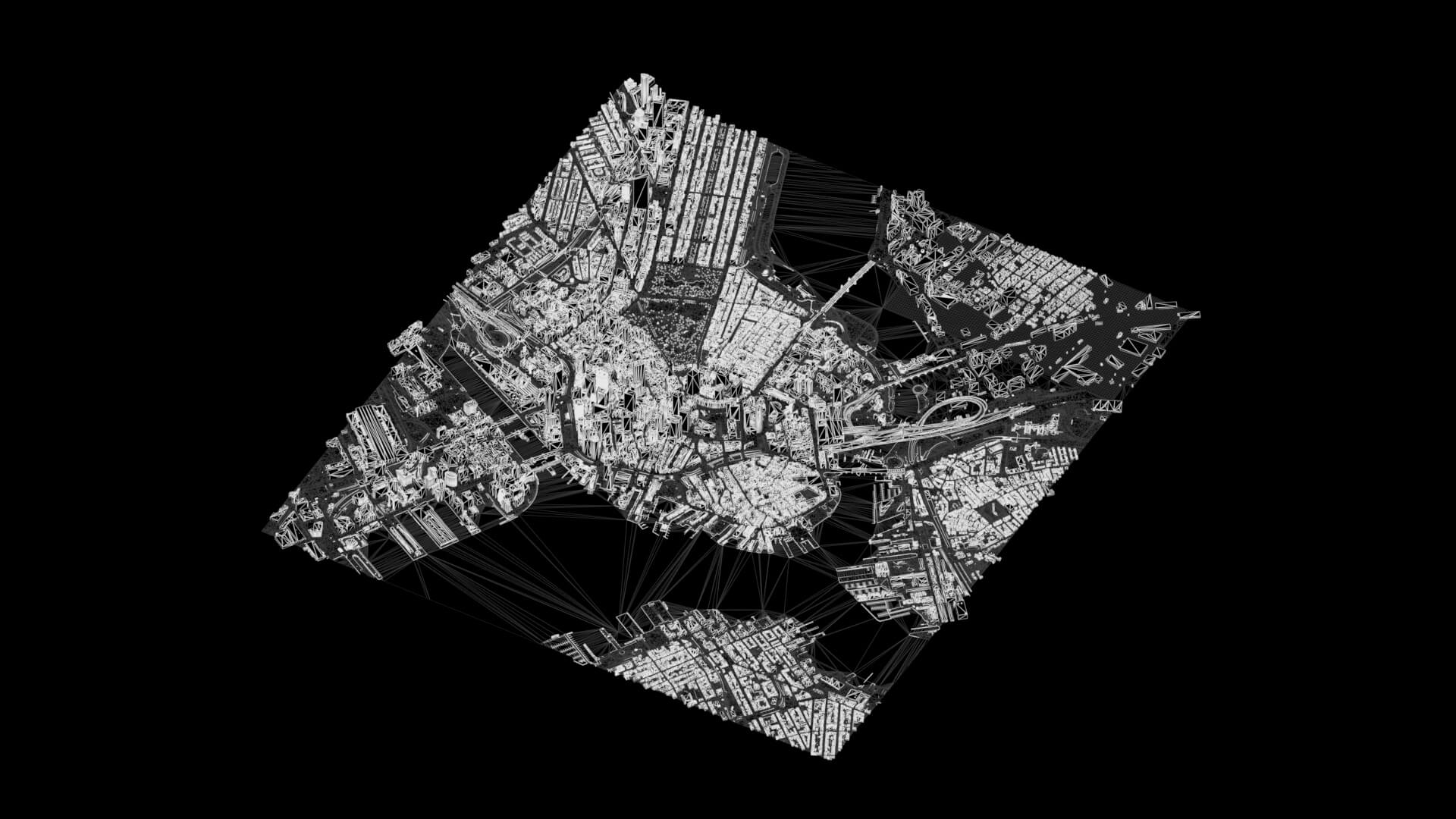
Isolated Boston 3D city map for news graphics, geographic visualization and wide views. Uses City of Boston building geometry, OpenStreetMap fallback footprints, terrain and MassGIS 2025 aerial imagery. Simplified and mixed-date architecture, not survey-grade or exact facade reconstruction. Includes Blender, Cinema 4D, FBX, OBJ/MTL and GLB, beauty views, wireframes and a PNG turntable. Interchange exports use 1:100 display scale; multiply uniformly by 100 to restore native size. Partial UV coverage; exported materials and lighting may differ from previews. Model was built using real-world geographic data and mapping tools.
Categories
