


 Free 3D
 3D Print Models
 3D Scans
 Animation & MoCap
 Textures
 Materials
 Skin Reference
 2D Game Assets
 Sound Effects
 Brushes & Tools
 Reference Photos
 Stock Images
 HDR Images
 3ds Max
 Maya
 Blender
 Unreal Engine
 Unity
 ZBrush
 Cinema 4D
 LightWave
 Marmoset
 SketchUp
 FBX
 DAE
 DXF
 GLB


! REPORT
NOTE: DIGITAL DOWNLOAD, NOT A PHYSICAL ITEM

Add to Collection

0 Likes
Share This 3D Model


Offered By


License
Extended Use License
This item comes with our Extended Use Licensing. This means that you may use the model for both non-commercial and commercial purposes, in a variety of mediums and applications.
For full license terms, see our 3D Content Licensing Agreement
3D Model Details
Statistics
| Favorites: | 0 |
| Likes: | 0 |
| Views: | 1 |
Item Ratings

Not Rated Yet
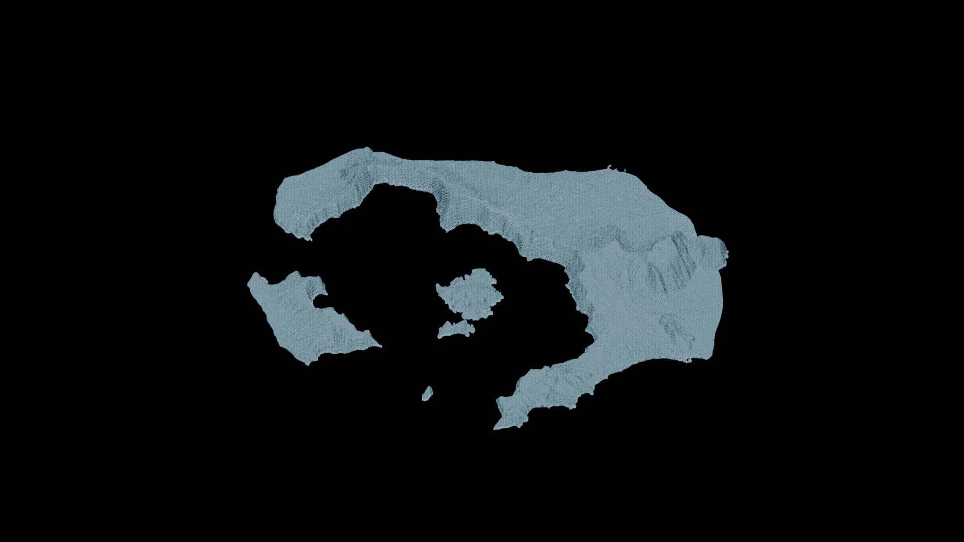
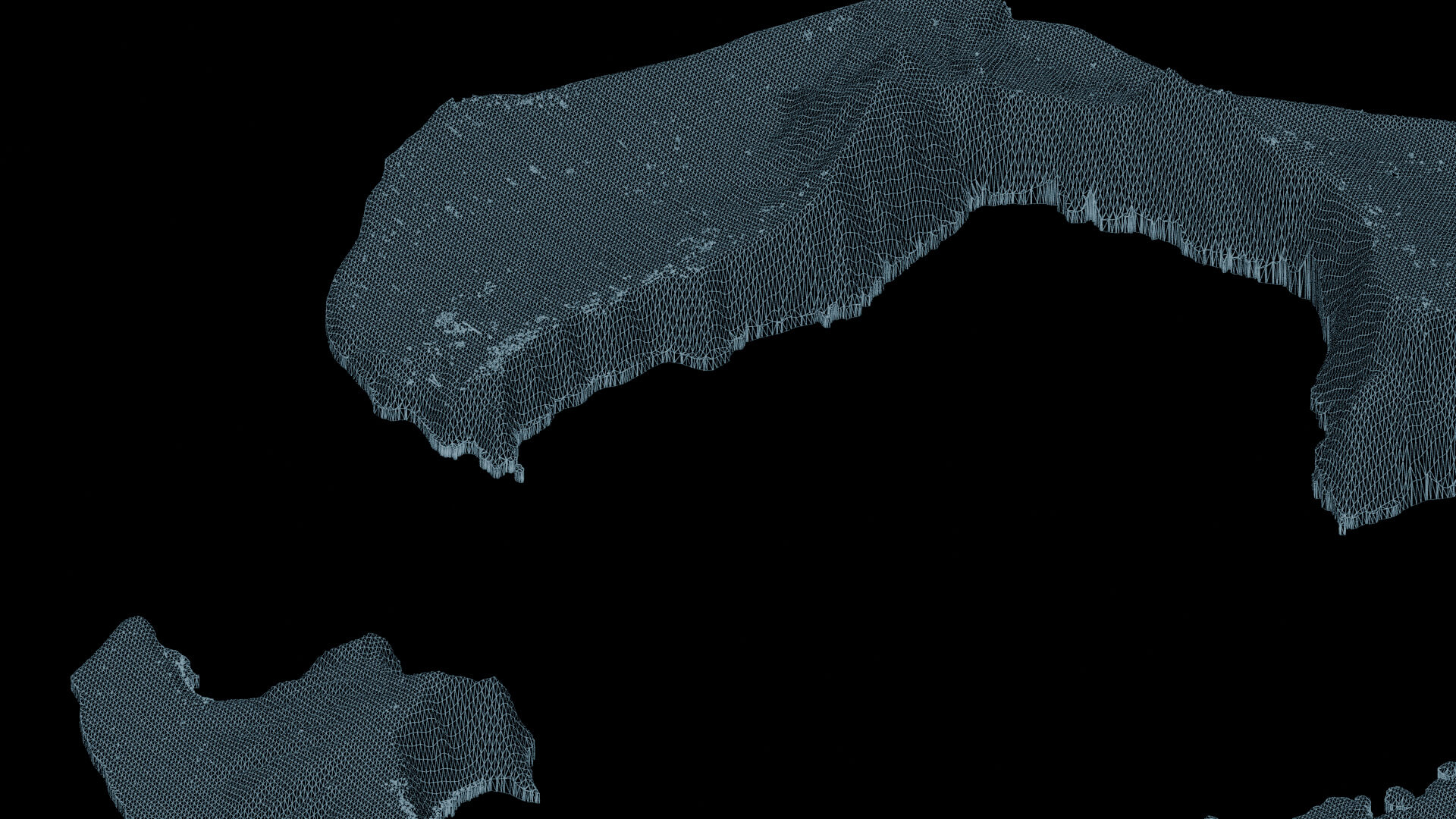
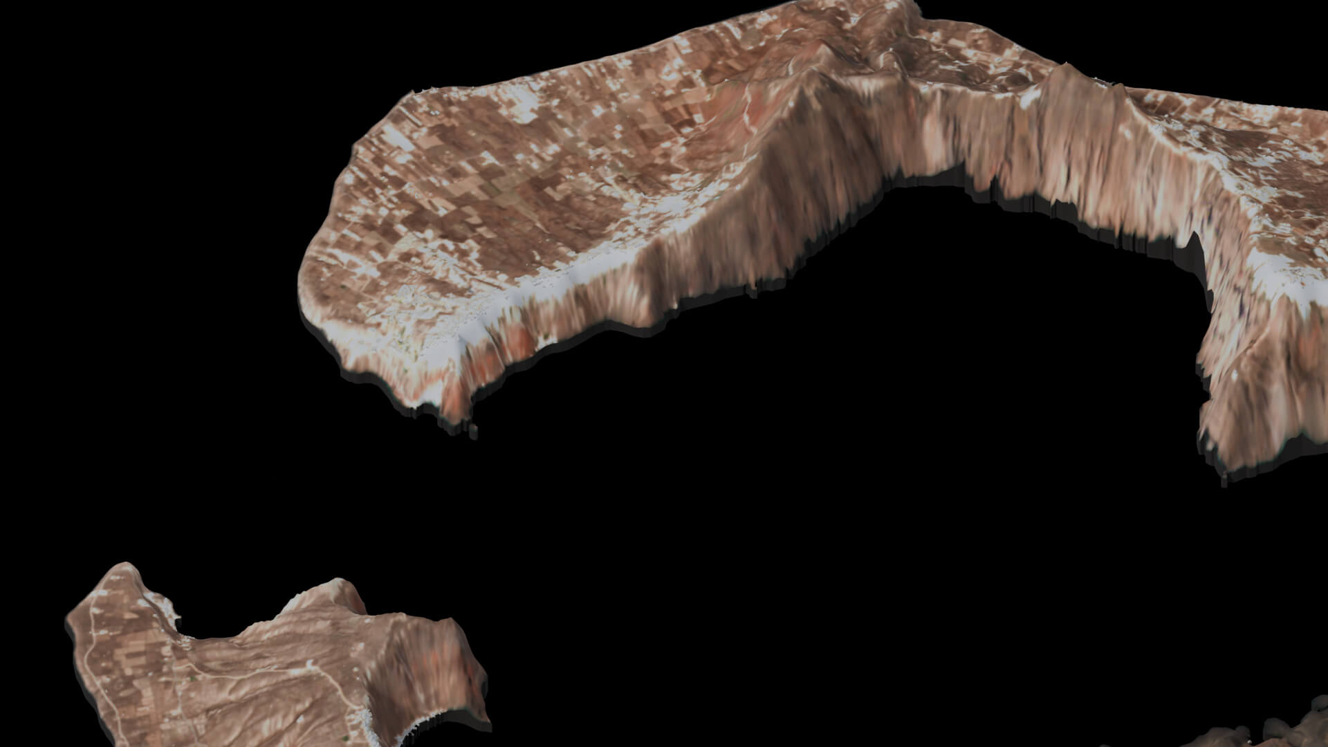
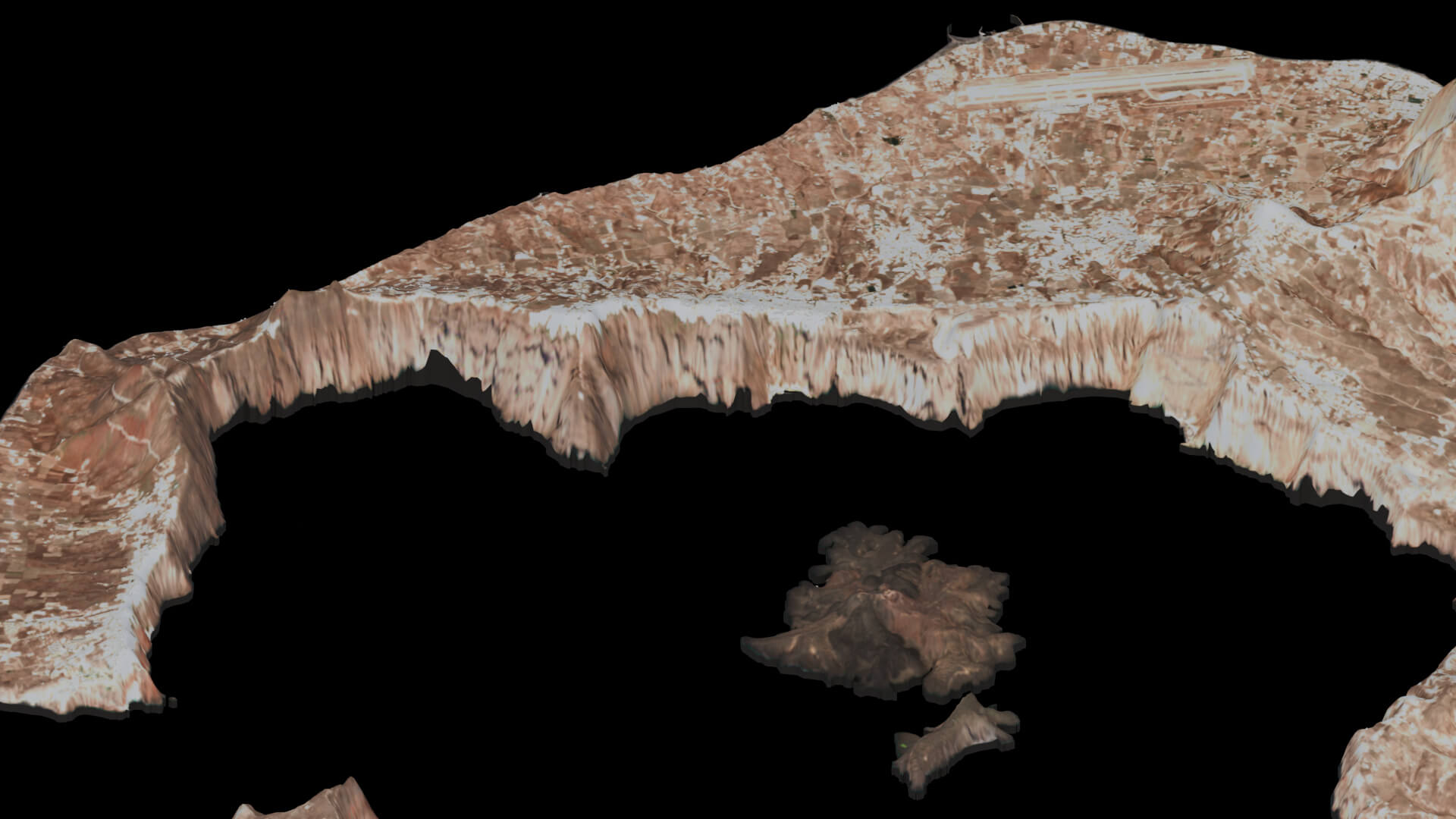
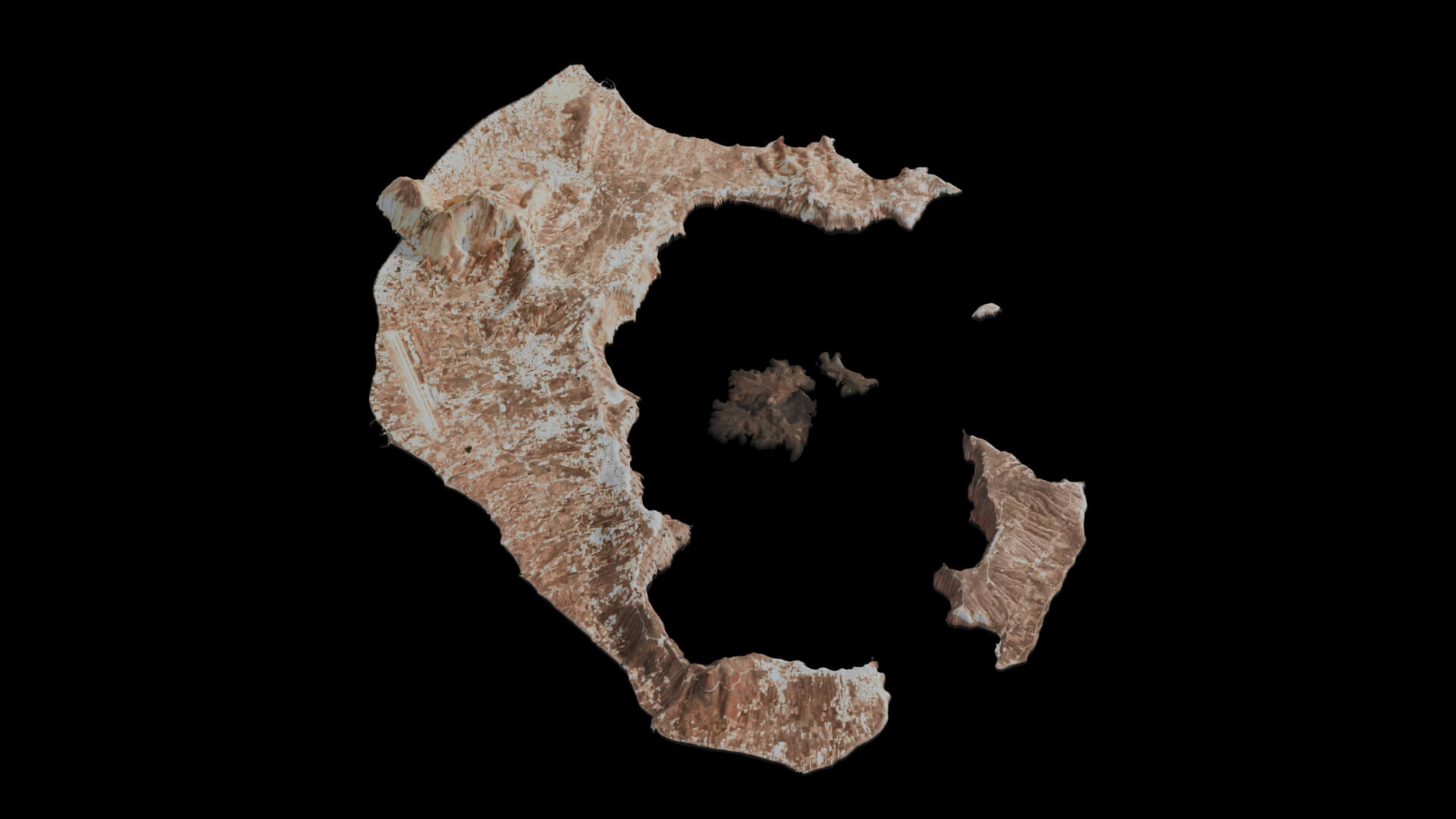
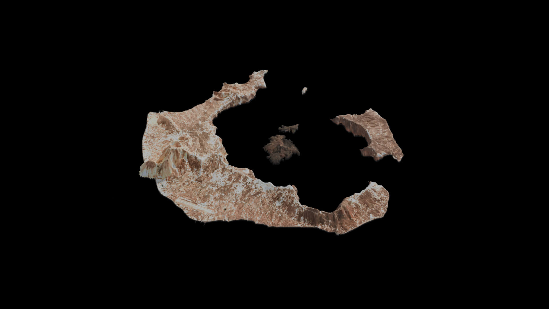
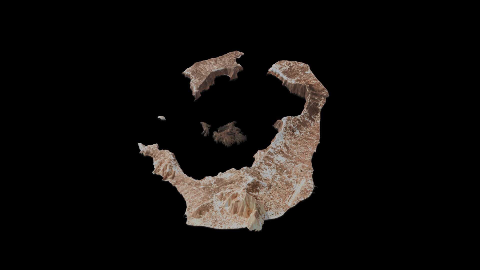
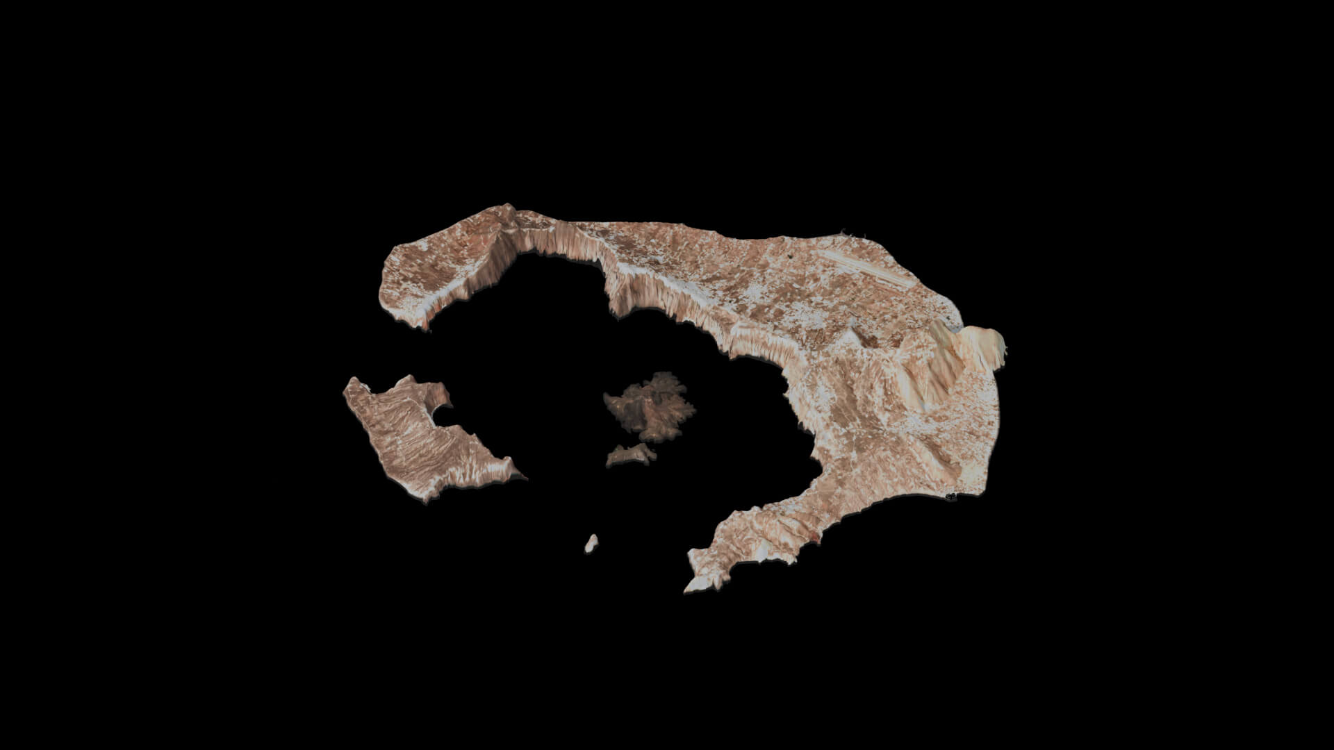
Santorini Isolated 3D Island Map
Isolated Santorini 3D island map for news graphics, geographic visualization and wide views. Simplified buildings and terrain, not survey-grade or exact architectural reconstruction. Includes packed Blender 5.0 Cycles, Cinema 4D, FBX, OBJ/MTL and GLB, six beauty views, two wireframes and a 30-frame PNG turntable. Native Blender uses metric scale; interchange exports use 1:100 display scale. Multiply uniformly by 100 to restore source size. Partial/mixed UV coverage; exported materials and lighting may differ from previews. Evaluated export: 245,412 polygons and 274,278 vertices. Model was built using real-world geographic data and mapping tools.
Categories
